Satellites help for air pollution measurements
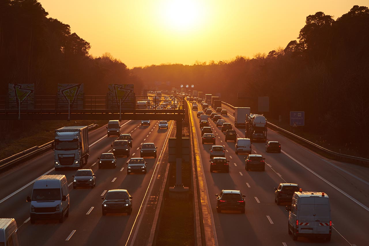
Earth Observation satellites can measure the air pollution of an entire area at once. In comparison, there are currently only 8 measuring stations used in Stuttgart, which is not nearly enough, as it is one of the cities with the most air pollution in Europe. Thus, the advantage of geographically vast measurements of satellites has the potential to completely eliminate the debates about where to measure.
With improving technologies allowing for more accurate measurements, satellites could address the surveillance of air quality in cities. Accurate, real time data could help better manage traffic so that air pollution can be kept to a minimum. However, the biggest hurdle to such a scenario is regulatory bodies. As the European Union has set regulatory standards and reference values, these need to be verified with regulated measuring systems. Therefore, they would need to accept satellites as a standard means for regulatory measurements.
Another potentially emerging business opportunity concerns personal health. The startup company Breezometer is offering an app with real time air quality information, and even predictions, which can for example tell you where you should go for a run, in order to have the least pollution possible, or what days to schedule physical activity, if you are sensitive to air pollution. One of their maps for Paris is shown below. Furthermore, they address different professionals from the sectors of air purifiers, smart homes, fitness & wellness and medical devices. With these services, they address a business opportunity, which is perfectly suitable for satellites due to their precise and vast measurement capacity.
Using satellites to address greenhouse gas issues
The challenges regarding greenhouse gases are slightly different. Satellites have been used for many years in order to obtain global data of greenhouse gases. There are, however, new emerging applications, which can be addressed only by more accurate and frequent satellite measurements, similar to air pollution.
Environmental projects could be of interest as they often aim at absorbing greenhouse gases. Depending on the nature of the project, it can be a very complicated process to measure how much has been absorbed. Especially with regards to the carbon offsetting market, where a lot of money can be at stake, accuracy is key. Once again, regulatory bodies would need to be brought on board for such services to successfully address this business opportunity.
For other applications, it is necessary to be both precise and geographically vast. Pipelines transporting methane, a strong greenhouse gas, are a very good example, where satellites can be used to detect leaks. The startup company GHG Sat is addressing this business opportunity by measuring the methane concentration along pipelines using satellite imagery and looking for sudden changes. Other examples with similar stakes (also addressed by GHG Sat) include agricultural and waste management sites and coal mines. Here again, satellite imagery can be used to measure the CO2 and Methane concentration and alert for sudden changes.
The possibilities for the space industry are thus numerous and many exciting missions can be envisioned, which can help us down here on Earth to better manage our health and conserve our planet.
About the author
Steffen, Senior Consultant in Alcimed’s Aerospace Defense team in France